Drone PHOTOGRAPHY - Inspection & CGI DRONE OVERLAY

The latest  aerial and ground drone technology to cover even the largest jobs.

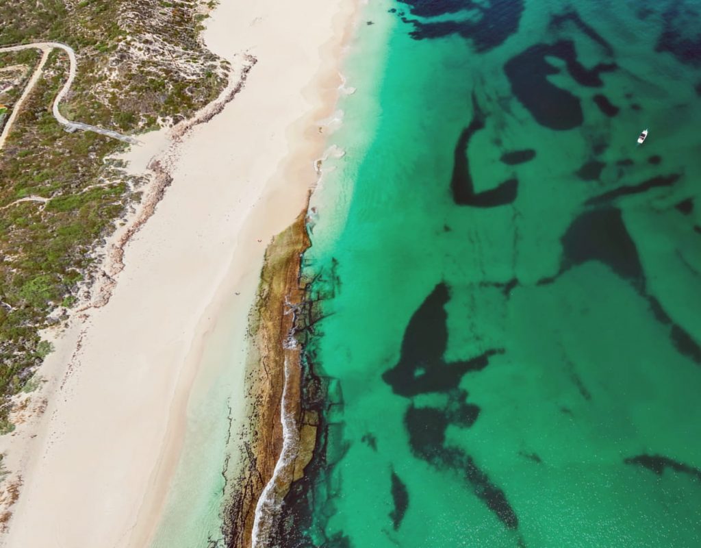
Showcase your location.

Give your clients a user-friendly experience like nothing else. Allow your business to be seen at any scale and angle using our industry-leading aerial and ground 360 photography.

Collect data remotely.

Viewtech3D  uses the latest drone technology to help you visualise big areas for oil and gas and mining, relaying concepts, planning and presentations. Put simply, it’s the best, most efficient way to communicate with your team.

Next-level marketing.

Promote and display your business’s key features to prospective customers. And get high-resolution videos, images, CGI overlays and panoramas as marketing collateral to post on your website and social media platforms.

ADVANCED. REPUTABLE. CERTIFIED.

Aerial Drone Services You Can Trust

Our CASA qualified and experienced drone pilots are fully insured to handle your project requirements – while always prioritising safety and quality.

PROFESSIONAL. TRUSTWORTHY.

reoc certified

Our Projects

Our Aerial Drone Photography Projects

process

How We Work

Our Process

STEP 01

Discovery Call

Schedule a discovery call or coffee with us to discuss your business needs and how Viewtech3D can help.

STEP 02

Project Scoping

The Viewtech3D team will collate all the information from you and custom design a solution for your business needs. A quote will be provided and after acceptance we will begin our strategy session.

STEP 03

Strategy Session

After taking full consideration of both your project’s needs and our team’s resources, Viewtech3D carefully plans every step of the creative process from start to finish.

STEP 04

Visualisation Delivery

The creative and technical magic happens here. With Viewtech3D’s pool of professionals, we keep you updated on the progress.

STEP 05

Output Review and Revisions

We value your comments and suggestions. Once we are satisfied, we hop on a call with you to ensure our team has brought your vision to life.

STEP 06

Project Turnover

Once you are 100% happy with Viewtech3D’s project outcome we will hand over the final visual material for you to use and showcase straight away. We will always continue to support you should the need arise.

READY TO START YOUR PROJECT?

Our Happy Clients

What our Clients Say About Us

faqs

Aerial Drone
Services FAQs

Drone photography refers to the process of capturing stills and video using the latest flying drones and technology. A game changer in aerial photography, drone photography gives access to perspectives that would have been otherwise impossible to access by photographers without drones.

Here at Viewtech 3D, we don’t settle for anything less when it comes to our clients. Using only the best camera equipment, drones, CGI tools, and processing solutions our aerial photography specialists produce 3D visualisations that can help you solve your business challenges and give your brand a boost.

Depending on the industry you are in, drone services can vary in price. We find efficient and cost effective solutions to best suit your project’s needs from a simple aerial shot to advanced mapping and surveying.

Contact

Not sure how we can help your business?

Get in touch with us to schedule a commitment-free discovery call to discuss how our team can help you.

VIEWTECH 3D

GET IN TOUCH